What is a Watershed?
A watershed is an area of land that water flows across, through or under on its way to a stream, river, lake, ocean, or other body of water. Watersheds come in many different shapes and sizes and have many different features. They may include farmland, rangeland, small towns, or big cities. All land is part of a watershed and everyone lives in a watershed.
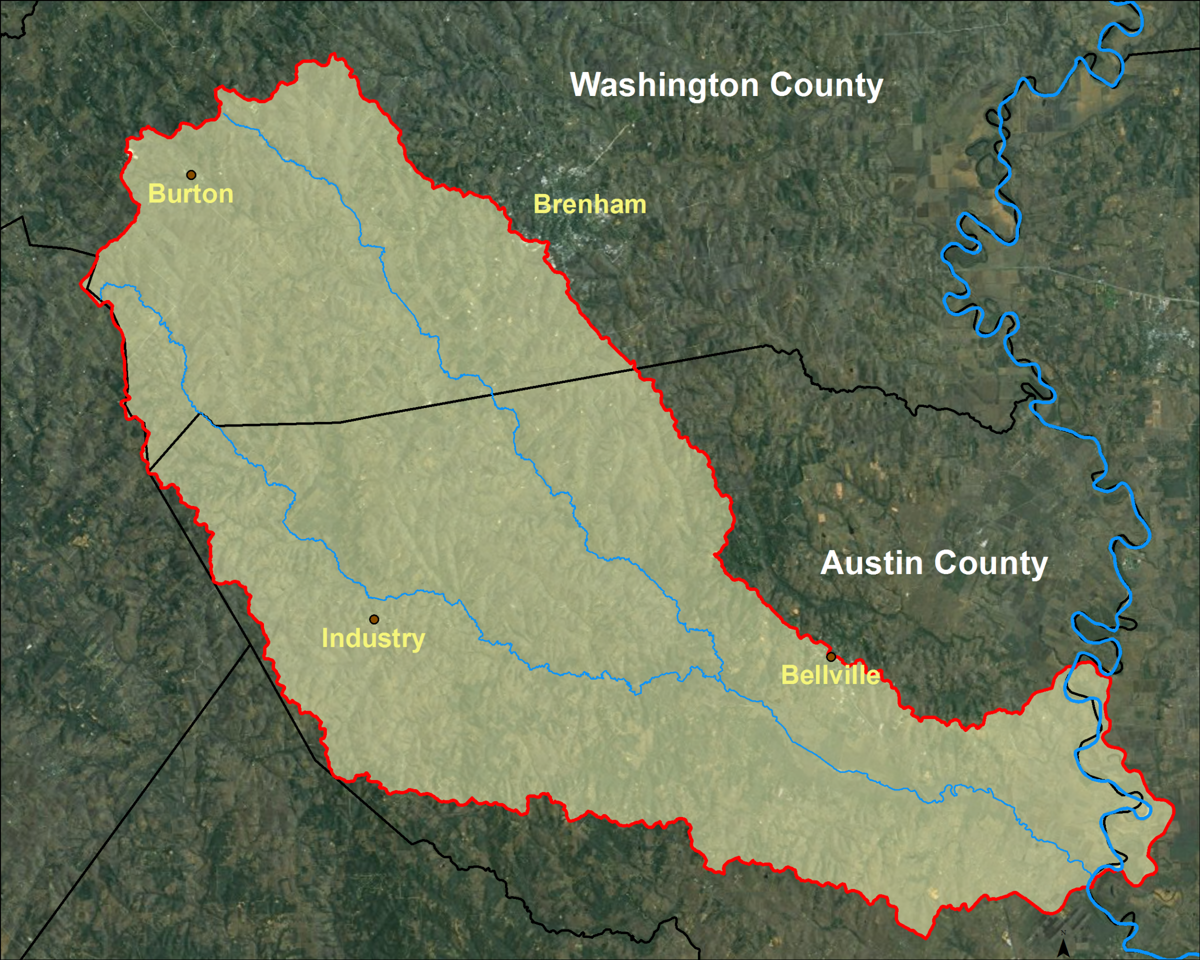
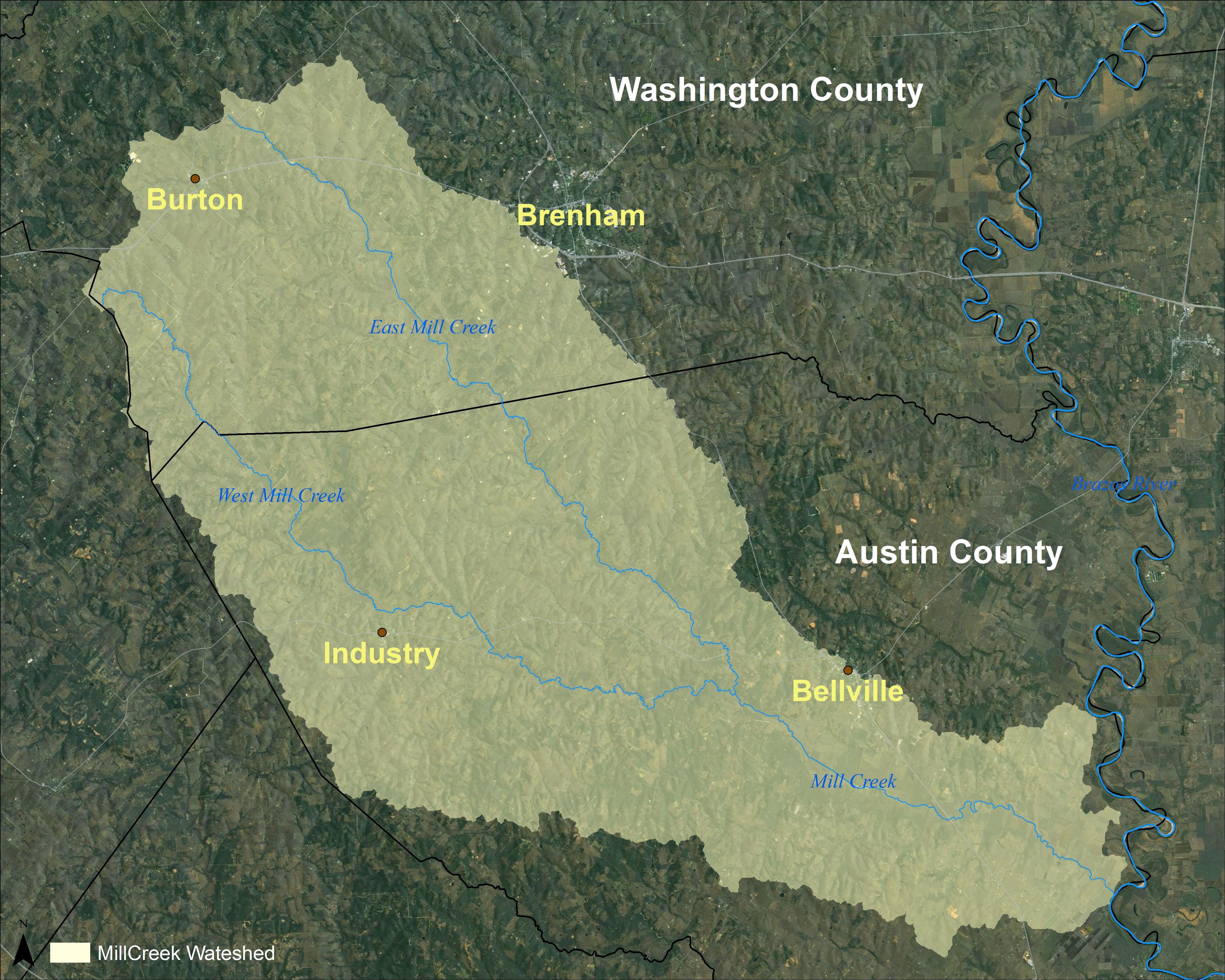
The Mill Creek Watershed
Click Image to Enlarge Map
Mill Creek is formed by two branches, the East and West Forks of Mill Creek, in southwest Washington County which unite near Bellville, TX in Austin County to form the main stem. Mill Creek then flows 14 miles southeast to its confluence with the Brazos River. The 256,000-acre watershed contains cropland, rangeland, forest and developed land. While undeveloped or agricultural land dominates the watershed, there are a few incorporated areas. The City of Bellville, located along the Boggy Creek tributary, is the largest city in the watershed. Other incorporated areas include the Cities of Burton and Industry. Very small portions of both Brenham and New Ulm also lie within the watershed boundary.